Common All-Sky Bitmap Images (ligo.skymap.plot.backdrop)
Backdrops for astronomical plots.
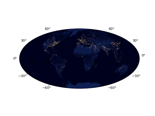
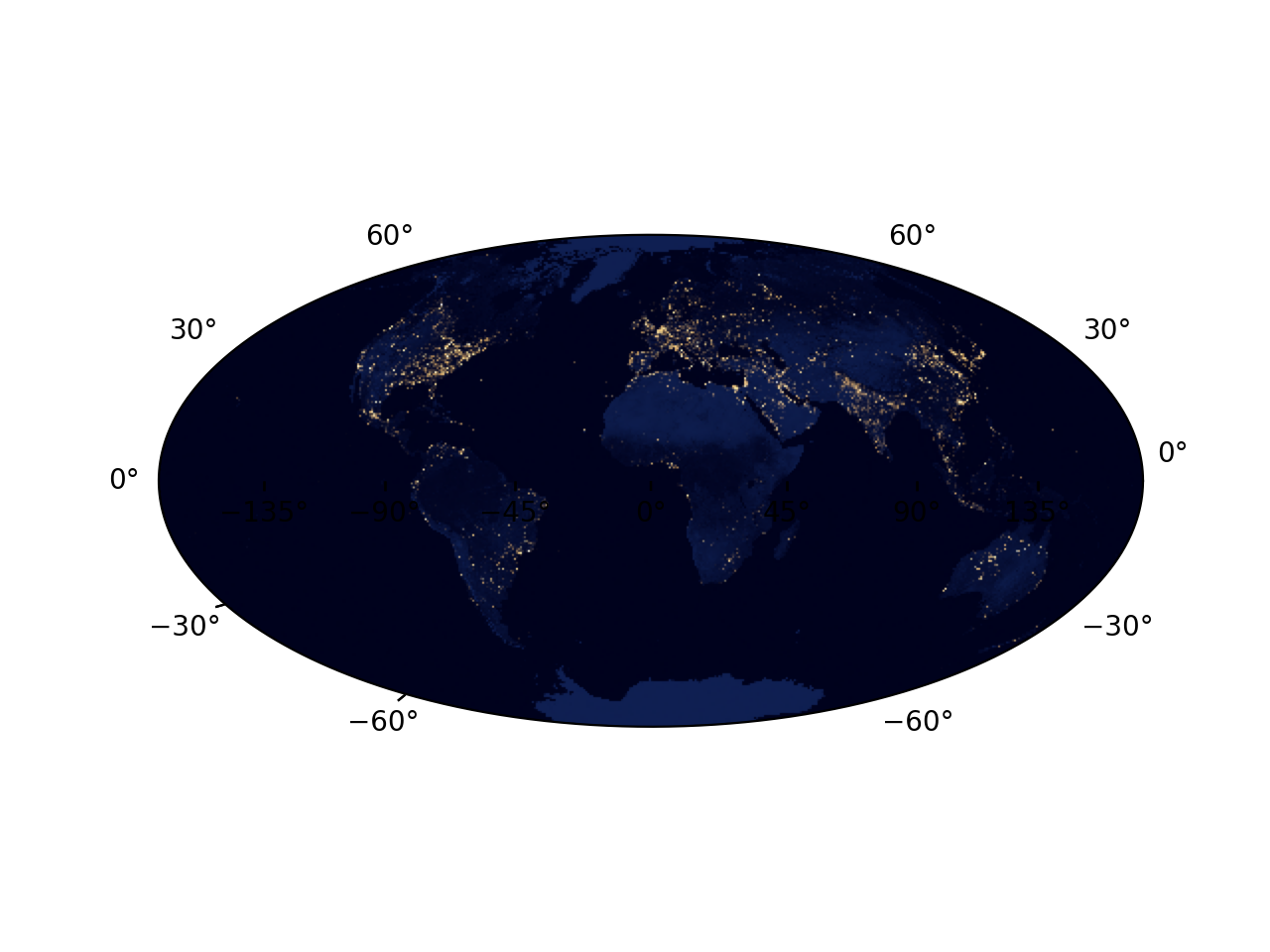
- ligo.skymap.plot.backdrop.blackmarble(t, resolution='low')[source]
Get the “Black Marble” image.
Get the NASA/NOAO/NPP image showing city lights, at the sidereal time given by t. See https://visibleearth.nasa.gov/view.php?id=79765.
- Parameters:
- t
astropy.time.Time Time to embed in the WCS header.
- resolution{‘low’, ‘mid’, ‘high’}
Specify which version to use: the “low” resolution version (3600x1800 pixels, the default), the “mid” resolution version (13500x6750 pixels), or the “high” resolution version (54000x27000 pixels).
- t
- Returns:
astropy.io.fits.ImageHDUA FITS WCS image in ICRS coordinates.
Examples
from matplotlib import pyplot as plt
from ligo.skymap.plot import blackmarble, reproject_interp_rgb

obstime = '2017-08-17 12:41:04'
ax = plt.axes(projection='geo degrees aitoff', obstime=obstime)
ax.imshow(reproject_interp_rgb(blackmarble(obstime), ax.header))
(
Source code,png,hires.png,pdf)
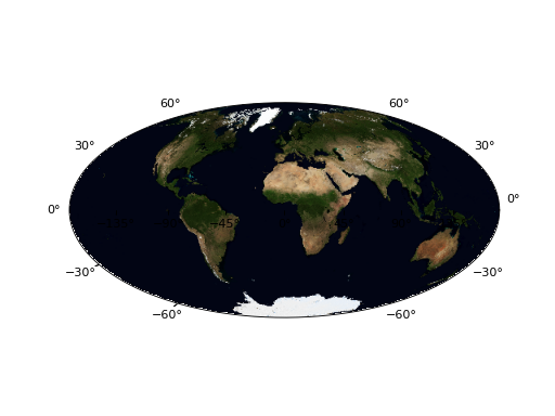
- ligo.skymap.plot.backdrop.bluemarble(t, resolution='low')[source]
Get the “Blue Marble” image.
Retrieve, cache, and return the NASA/NOAO/NPP “Blue Marble” image showing landforms and oceans.
See https://visibleearth.nasa.gov/view.php?id=74117.
- Parameters:
- t
astropy.time.Time Time to embed in the WCS header.
- resolution{‘low’, ‘high’}
Specify which version to use: the “low” resolution version (5400x2700 pixels, the default) or the “high” resolution version (21600x10800 pixels).
- t
- Returns:
astropy.io.fits.ImageHDUA FITS WCS image in ICRS coordinates.
Examples
from matplotlib import pyplot as plt
from ligo.skymap.plot import bluemarble, reproject_interp_rgb

obstime = '2017-08-17 12:41:04'
ax = plt.axes(projection='geo degrees aitoff', obstime=obstime)
ax.imshow(reproject_interp_rgb(bluemarble(obstime), ax.header))
(
Source code,png,hires.png,pdf)
- ligo.skymap.plot.backdrop.mellinger()[source]
Get the Mellinger Milky Way panorama.
Retrieve, cache, and return the Mellinger Milky Way panorama. See http://www.milkywaysky.com.
- Returns:
astropy.io.fits.ImageHDUA FITS WCS image in ICRS coordinates.
Examples
from astropy.visualization import (ImageNormalize,
                                   AsymmetricPercentileInterval)
from astropy.wcs import WCS
from matplotlib import pyplot as plt
from ligo.skymap.plot import mellinger
from reproject import reproject_interp

ax = plt.axes(projection='astro hours aitoff')
backdrop = mellinger()
backdrop_wcs = WCS(backdrop.header).dropaxis(-1)
interval = AsymmetricPercentileInterval(45, 98)
norm = ImageNormalize(backdrop.data, interval)
backdrop_reprojected = np.asarray([
    reproject_interp((layer, backdrop_wcs), ax.header)[0]
    for layer in norm(backdrop.data)])
backdrop_reprojected = np.rollaxis(backdrop_reprojected, 0, 3)
ax.imshow(backdrop_reprojected)
(
Source code,png,hires.png,pdf)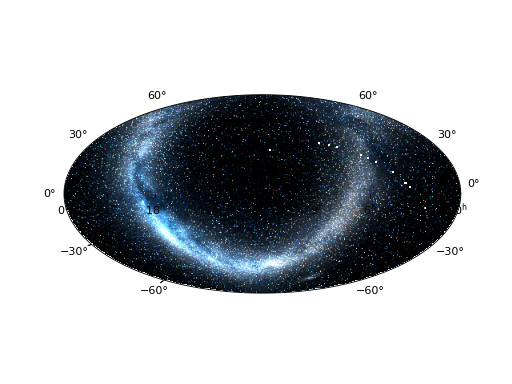